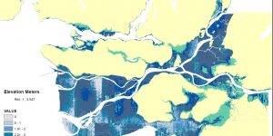
Lab 3: Planning for Flooding/Storm Surge
The technical aspect: This lab acquainted me to analyzing the difference between raster and vector data, and when to appropriately use these datasets when creating a map from scratch, i.e. downloading data from an open data source. I further familiarized myself with properly projecting coordinate systems, and how to troubleshoot different coordinate systems among varying layers of a dataframe